2011_08 - Max Patch

2011-08
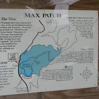
Adventure Ride to Max Patch - Rode over 250 miles today - about a third in back country.
map1
1
IMG 2766
2
Just the sign I wanted to see!
3 Just the sign I wanted to see!
Always a good place to rest.
4 Always a good place to rest.
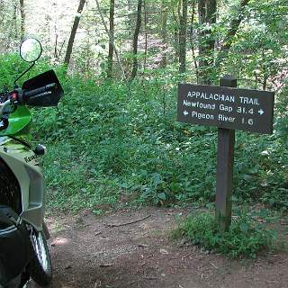
The AT where it meets the road on Mt Sterling.
5 The AT where it meets the road on Mt Sterling.
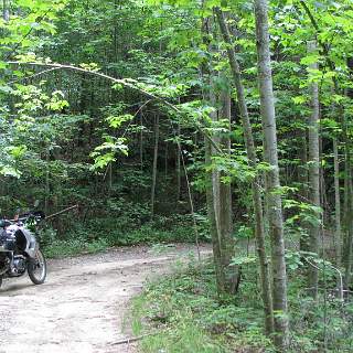
The begining of an interesting ride into Harmons Den.
6 The begining of an interesting ride into Harmons Den.
A smooth part of the trail.
7 A smooth part of the trail.
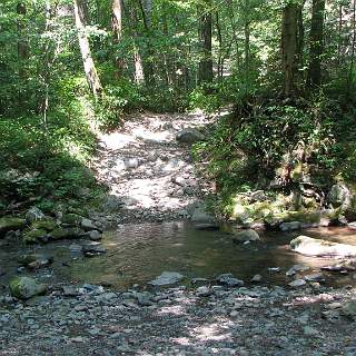
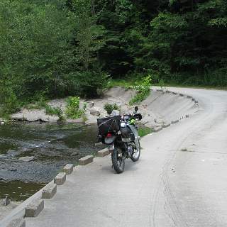
Crossing the Pigeon right below I-40 going into the Harmons Den RA
8 Crossing the Pigeon right below I-40 going into the Harmons Den RA
IMG 2774
9
IMG 2775
10
IMG 2776
11
IMG 2777
12
IMG 2779
13
IMG 2780
14
IMG 2781
15
IMG 2782
16
IMG 2783
17
IMG 2784
18
IMG 2785
19
IMG 2788
20
IMG 2789
21
IMG 2790
22
IMG 2791
23
Round Mountain campground
24 Round Mountain campground
IMG 2793
25
Max Patch from afar
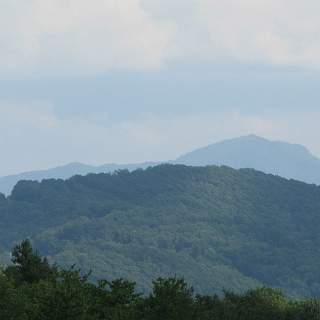
26 Max Patch from afar
On Snowbird looking west towards Mt Cammerer.
27 On Snowbird looking west towards Mt Cammerer.
The AT on Snowbird, north of the GSMNP
28 The AT on Snowbird, north of the GSMNP
Aviation Nav station (VOR)  on Snowbird.
29 Aviation Nav station (VOR) on Snowbird.
IMG 2798
30
HIgh country sunset.
31 HIgh country sunset.